About Us
Statistics
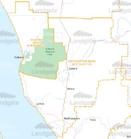
Statistics about the Shire of Northampton
| Distance from Perth |
475km |
| Area |
12.499 sq/km |
| Length of Sealed Roads |
358 km |
| Length of Unsealed Roads |
949 km |
| Population |
3,227 (2021 Census) |
| Number of Employees |
33 (FTE) |
| |
|
| |
|
History
Recorded history of this area dates back to 1629 with the wrecked Dutch ship Batavia and two men being marooned at the mouth of the Murchison River.
Lead was first discovered in the area in 1847, with copper then being discovered by Drummonds Shepherd in 1854.
A convict hiring station was established at Port Gregory from 1853-1856. The first railway commenced in 1874 and was completed in 1879 running from Geraldton to Northampton, later being extended to Ajana in 1913.
With the railway came the expansion of the district's mining and agriculture, more lead and copper mines were opened up, cereal crops (mainly wheat) were increasing and sheep numbers also increased.
Northampton was known as the "The Mines" until 1864, when the townsite was gazetted and became known as Northampton. Local Government commenced in 1871, its boundaries being described from the north by running a line running eastward from the mouth of the Murchison River, west by the Indian Ocean, south by a line running eastward from the mouth of the Buller river, with no eastern boundary.
The first local government administration centre/office was built in 1898 in Northampton, new offices were built in 1957 and were extensively extended and modified in 1984 and again in 2001. The Kalbarri administration centre, being the "Allen Centre", was opened in 1992.
Northampton has long been known by the aboriginal people as Mooniemia.
Tourism
Two separate Visitor Centres have been established within the Shire, the Northampton Visitors Centre and the Kalbarri Visitors Centre. Council contributes financially towards the operations of both centres. You are invited to visit the comprehensive websites of the Visitors Centres to discover all that the area has to offer. The websites list accommodation and various facilities available. For information on Horrocks Beach and Port Gregory, visit the Northampton Visitors Centre website, below.
- Northampton Visitors Centre - Instagram
The Northampton Visitors Centre is located within the RSL complex on the corner of Hampton Roads and Essex Street.
The Kalbarri Visitors Centre is located on Grey Street, Kalbarri, sharing the building with Council staff in Kalbarri.